The tools provided below are to access air quality information only. For burn safety decisions, please consult other resources such as the Topeka, Kansas or Wichita, Kansas National Weather Service websites.
Please note: smoke plume animations on the Your Fire Impacts tab are currently unavailable.
Fire impact predictions only available from March 1, 2024 through May 1, 2024. Forecasts are updated daily at 1:00 p.m. Central Time. View as: Map | Table
Kay Greenwood Northwest Elk Osage Oklahoma South Chautauqua Coffey North Morris South Lyon South Greenwood Southeast Wabaunsee Northeast Pottawatomie West Riley Butler Southwest Chase Southwest Coffey South Butler Southeast Lyon North Morris North Wyandotte Wabaunsee Southwest Chase Northeast Osage Kansas North Geary Osage Kansas South Washington-Nowata Oklahoma Woodson Chase Northwest Greenwood Southwest Sedgwick Wilson Butler Northwest Cowley East Johnson Greenwood Northeast Marion Wabaunsee Southeast Butler Northeast Pottawatomie East Chase Southeast Wabaunsee Northwest Osage Oklahoma North Cowley West
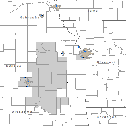
Potential Contribution to Major Cities for Fires Ignited On
April 26, 2024 April 27, 2024
Maximum Contribution Potential within 48 hours
basemap
Butler-NE
Butler-SE
Butler-SW
Butler-NW
Chase-NE
Chase-SE
Chase-SW
Chase-NW
Chautauqua
Coffey-N
Coffey-S
Cowley-E
Cowley-W
Elk
Geary
Greenwood-NE
Greenwood-SE
Greenwood-SW
Greenwood-NW
Lyon-N
Kay
Lyon-S
Marion
Morris-N
Morris-S
Osage-N
Osage-S
Pottawatomie-E
Pottawatomie-W
Riley
Sedgwick
Wabaunsee-NE
Wabaunsee-SE
Wabaunsee-SW
Wabaunsee-NW
Wilson
Woodson
Wyandotte
Osage-Oklahoma-N
Osage-Oklahoma-S
Nowata
Small ContributionSmall Contribution Medium ContributionMedium Contribution Large ContributionLarge Contribution Data UnavailableData Unavailable Metropolitan AreaMetropolitan Area MonitorMonitor
Forecast Discussion Extended Forecast
Friday, April 26: Moist ambient conditions will likely limit fire activity in the wake of multiple rounds of rain and thunderstorms. In addition, a trough of low pressure aloft will enhance atmospheric mixing, while moderate and gusty south-southwesterly winds aid dispersion. As a result, any potential smoke impacts in metropolitan areas will be limited. However, minor smoke impacts could be seen in Topeka from potential fires in the northeastern Flint Hills. In addition, smoke from potential fires in Sedgwick County will impact Wichita, while smoke from potential fires in Johnson County will impact Kansas City.

Saturday, April 27: Scattered showers and thunderstorms will continue to limit fire activity as a new surface low pressure system develops in southwestern Kansas. However, lighter southerly winds will limit dispersion, allowing smoke from potential fires in the eastern Flint Hills to impact Topeka, while smoke from potential fires in the far southwestern Flint Hills impacts Wichita. In addition, smoke from potential fires in Johnson County and the far northern Flint Hills may impact Lincoln and Omaha, Nebraska prior to showers and thunderstorms developing late in the day.
This forecast is for air quality impacts only.


April 28: Improving conditions for burning are expected.
April 29: Worsening conditions for burning are expected.
April 30: Worsening conditions for burning are expected.
May 1: Improving conditions for burning are expected.